


Discover how photogrammetry is transforming the world of drone photography by providing unprecedented accuracy and detail.
The Evolution of Drone Technology in Professional Services
Drone technology has come a long way since its inception, evolving from simple remote-controlled aircraft to sophisticated tools equipped with advanced sensors and cameras. In professional services, drones have become indispensable for various tasks, including surveying, inspection, and media production.
The integration of high-resolution cameras and GPS technology has enabled drones to capture detailed images and videos from unique vantage points. This evolution has opened up new possibilities for industries such as real estate, construction, and environmental monitoring, where aerial views can provide critical insights and data.
Understanding Photogrammetry: The Science Behind the Magic
Photogrammetry is the science of making measurements from photographs. In the context of drone photography, it involves capturing multiple images of a subject from different angles and then using specialized software to create accurate 3D models and maps.
This technique relies on the principles of triangulation, where the relative positions of the camera and the subject are used to calculate distances and create detailed representations. Photogrammetry can provide highly accurate data, making it invaluable for applications that require precise measurements and analysis.
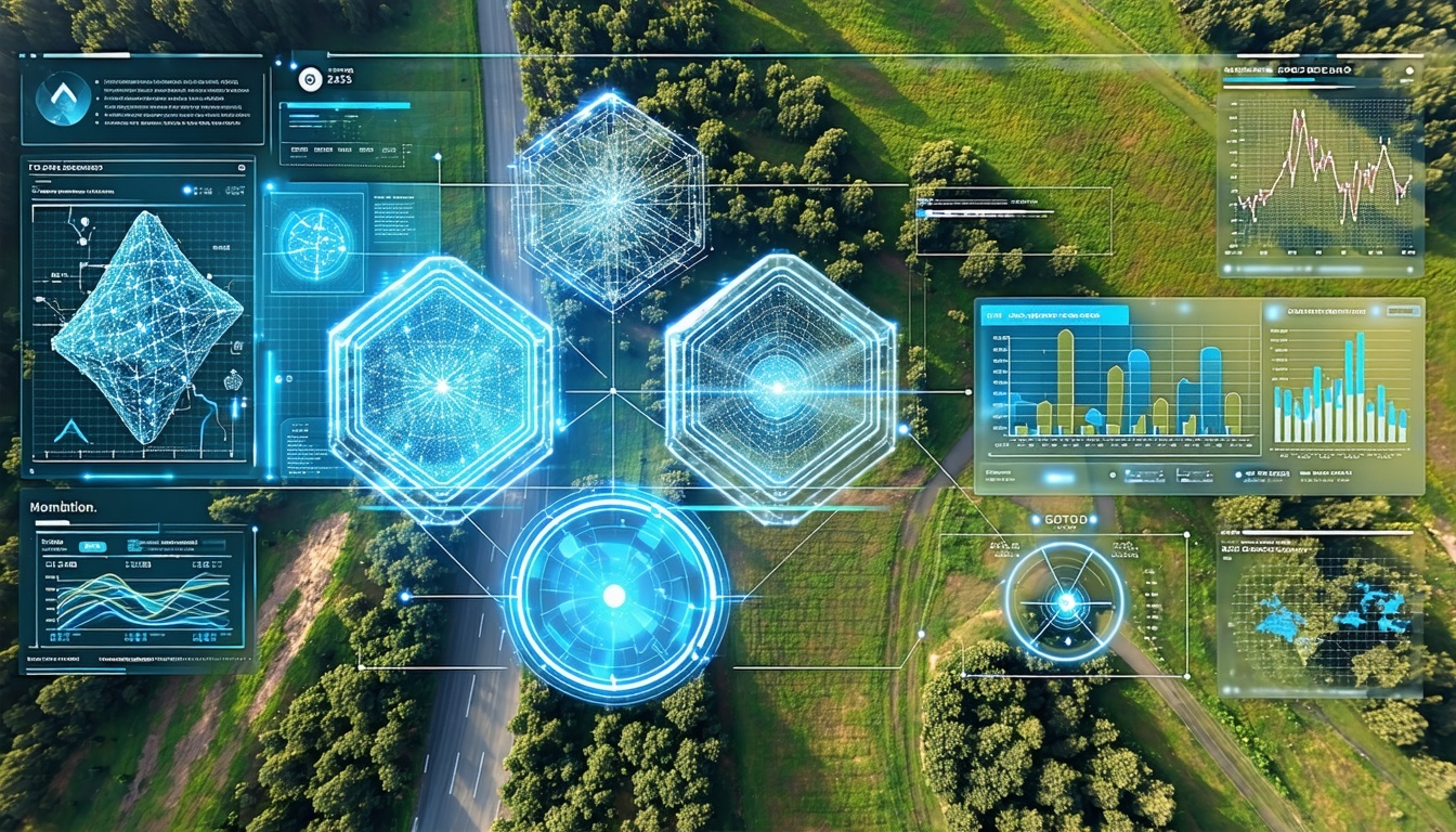
Applications of Drone Photogrammetry in Various Industries
The applications of drone photogrammetry are vast and diverse. In agriculture, it can be used to monitor crop health and optimize resource use. In construction, it enables accurate site surveys and progress tracking. Environmental scientists use it to study changes in landscapes and ecosystems.
Additionally, real estate professionals leverage photogrammetry to create immersive 3D tours of properties, enhancing the buying experience. Urban planners and architects use it to visualize and plan developments, ensuring better decision-making and more efficient use of space.
Benefits of Integrating Photogrammetry into Drone Photography
Integrating photogrammetry into drone photography offers numerous benefits. It provides a level of detail and accuracy that traditional photography cannot match, making it ideal for tasks that require precise measurements and analysis.
Furthermore, photogrammetry can save time and reduce costs by automating data collection and processing. It also enhances safety by allowing inspections and surveys to be conducted remotely, reducing the need for personnel to work in hazardous conditions.
Future Prospects: What Lies Ahead for Drone Photogrammetry
The future of drone photogrammetry looks promising, with advancements in technology continually pushing the boundaries of what is possible. We can expect to see even more sophisticated sensors and cameras, as well as improvements in software that will make data processing faster and more accurate.
Emerging technologies such as artificial intelligence and machine learning are also set to play a significant role, enabling more advanced analysis and automation. As these technologies develop, drone photogrammetry will become even more integrated into professional services, driving innovation and efficiency across various industries.